Rebuilding nature
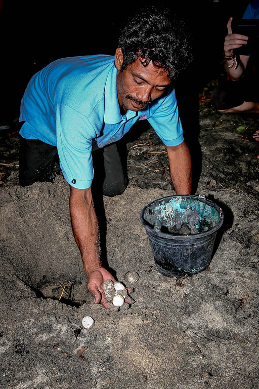
Temboan Beach in North East Sulawesi comprises some three kilometers of coast that is a nesting ground for various sea turtle species including the endangered leatherback turtles
The turtles are under continuous pressure from hunters/poachers (eggs as well as turtle meat that is sold in the highland bushmeat trade)
Background
- Waste water from agriculture and sediments from erosion of the denuded hills behind the beach has destroyed some of the reefs and would destroy more coral reefs and the underwater nature of Temboan beach such as the sea grasses that get covered by algae and then support fewer turtles and manatees
- In addition, mining companies have cast their eye on the magnetite embedded in the beach sands and under the corals in front of the Temboan coast
- The coastal area is also interesting for farmers because there are a number of small rivers that always flow with water. The use of more pesticides and artificial fertilizers would damage the coral reefs and seagrass beds more
- There are some beautiful and still intact coral reefs in front of some of the beaches (as well as some areas damaged by bom fishing in the past) and project developers are always looking out for such locations, but if done such development without very great care it will also lead to a further degradation of the corals and seagrass beds
- Masarang has already acquired several hundred hectares of land along the three kilometers of coast line and will develop this area into a large conservation effort
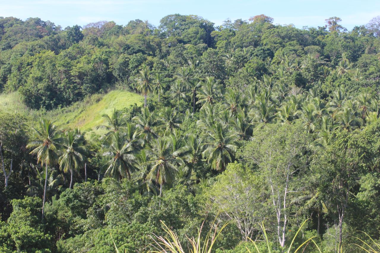
- There is some 50 hectares of existing mixed forest with local fruit trees and wild figs in the area that can be used to release animals from Tasikoki once the protection can be guaranteed
- The area also has many sugar palms and coconuts and even some nipa palm stands that all have economical value and could at least initially be used sustainably
SUPPORT temboan beach
Your donation is key to restore the rainforests of Indonesia, preserve the habitat for endangered animals, and help local communities to live in balance with nature. Together, we can make a difference!
Support us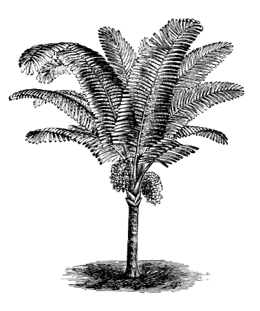

Land use planning
We will follow a recipe approach for the area with dedicated zones. The categories for the recipes and the activities for each zone are described here in more detail. Basically we will have:
- A buffer zone to protect the area against fires and encroachment as well as a wildlife fence that provides income from sugar palms. The fence part on the border of the property will consist of extremely dense and thorny Salacca (snake fruit) palms. Underneath the trees we can still plant some coffee or cacao;
- Then the zone along the various water streams will be planted with long-lived fruit trees, bamboos and tubers of shade tolerant plants like Colocasia. This is to prevent sediment from reaching the small streams and flow out to beach and sea;
- The next type of planting zone comprises the steepest slopes. Here we will plant sugar palms, fig trees, climbing rattans, medicinal plants and long lived trees that provide fruit, resins, or other non-timber forest products. This is a permanent vegetation type that can be utilized for additional income without ever cutting the trees, whilst the dense deep roots of sugar palms and dense more superficial roots of the fig trees and bamboos (only in zones with little fire risk) will prevent land slides and erosion;
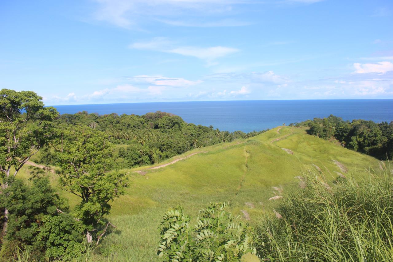
- The special zone of more than 100 hectares of grasslands will be replanted first with a mix of soil improving leguminose trees and trees that can compete with the grass roots and can shade out the grass underneath. This zone will together with the buffer zone have the highest priority to start planting. The trees will be used to produce mulch and fodder for some of the wildlife locally and at Tasikoki as well as for animals to be reintroduced there later;
- Wetland and mangrove zone. In this zone we will plant additional trees as needed and this zone will be utilized to tap the Nipah palms